OYC Repairs in 2021
Southeast Section Clean Up
Below - Stablizing The Lagoon Shore Line.
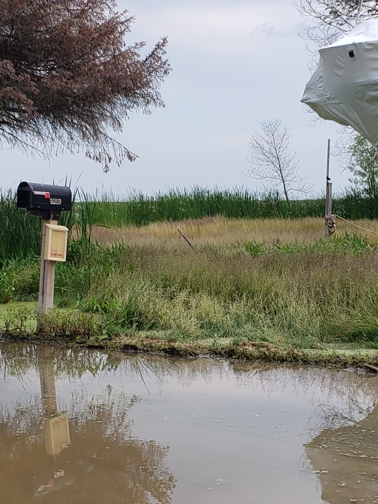
Upper/left photo, Southeast by Yachtclub Road. Lost the stand of 3 Cedars by the sign, and one by the mailbox. The Cattails have been cut and piled.
Upper/right photo, Joe working on Cattail removal by the river
Lower left, waiting for new photos.
Lower right, waiting for new photos.
Click any photo for a larger view.
OYC Repairs in 2020
Beginning of repairs to OYC property in 2020.
Below - Some repairs are started, a lot to do.
Upper/left photo, The road around the Lagoon was extended along the west side.
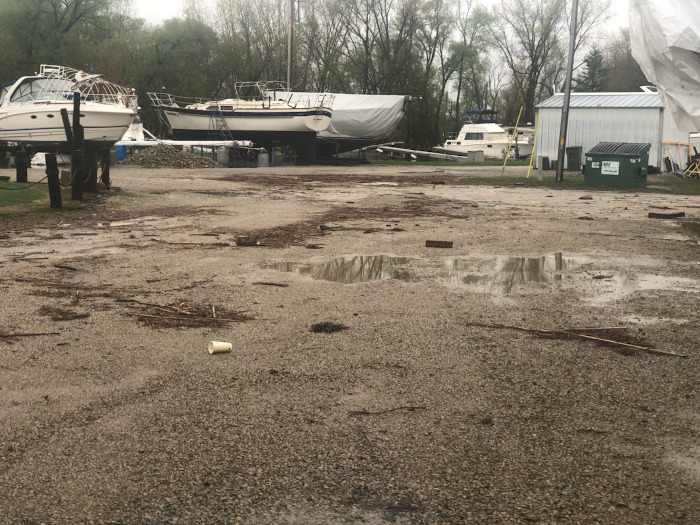
Upper/right photo, The amount of trash that washed in with the high water periods shows how much garbage is just tossed in our waterways. There needs to be a better effort to control trash.
Lower left - Lagoon Clean Up, the high waters would push weed clumps and other trash into the Lagoon.
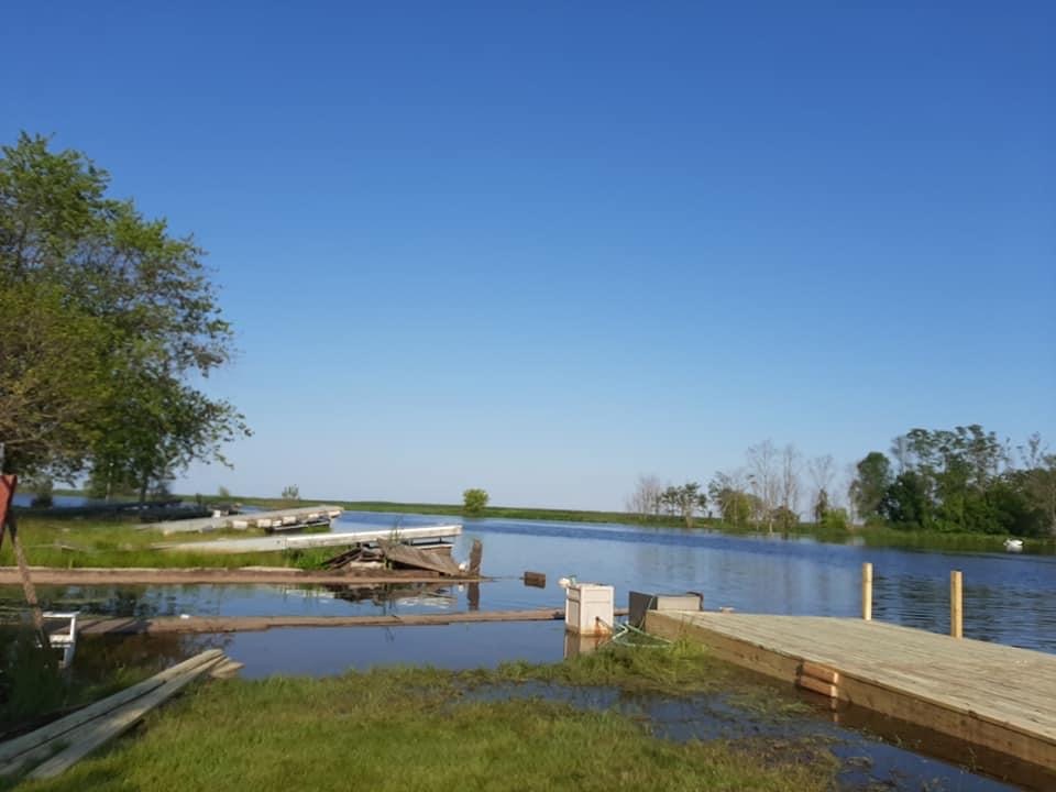
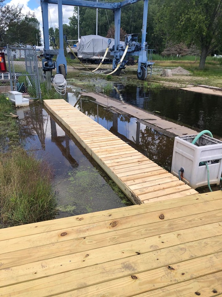
Lower right - Gas Dock & Well, With the wood dock and walk complete, will have to wait for lower water levels to clean up this section. Ajax Island in the background almost looks like an Island again.
Click on the photos for a larger view.
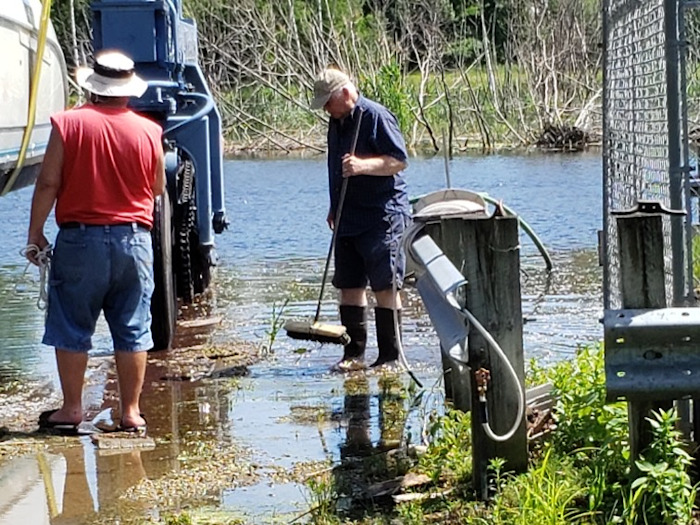
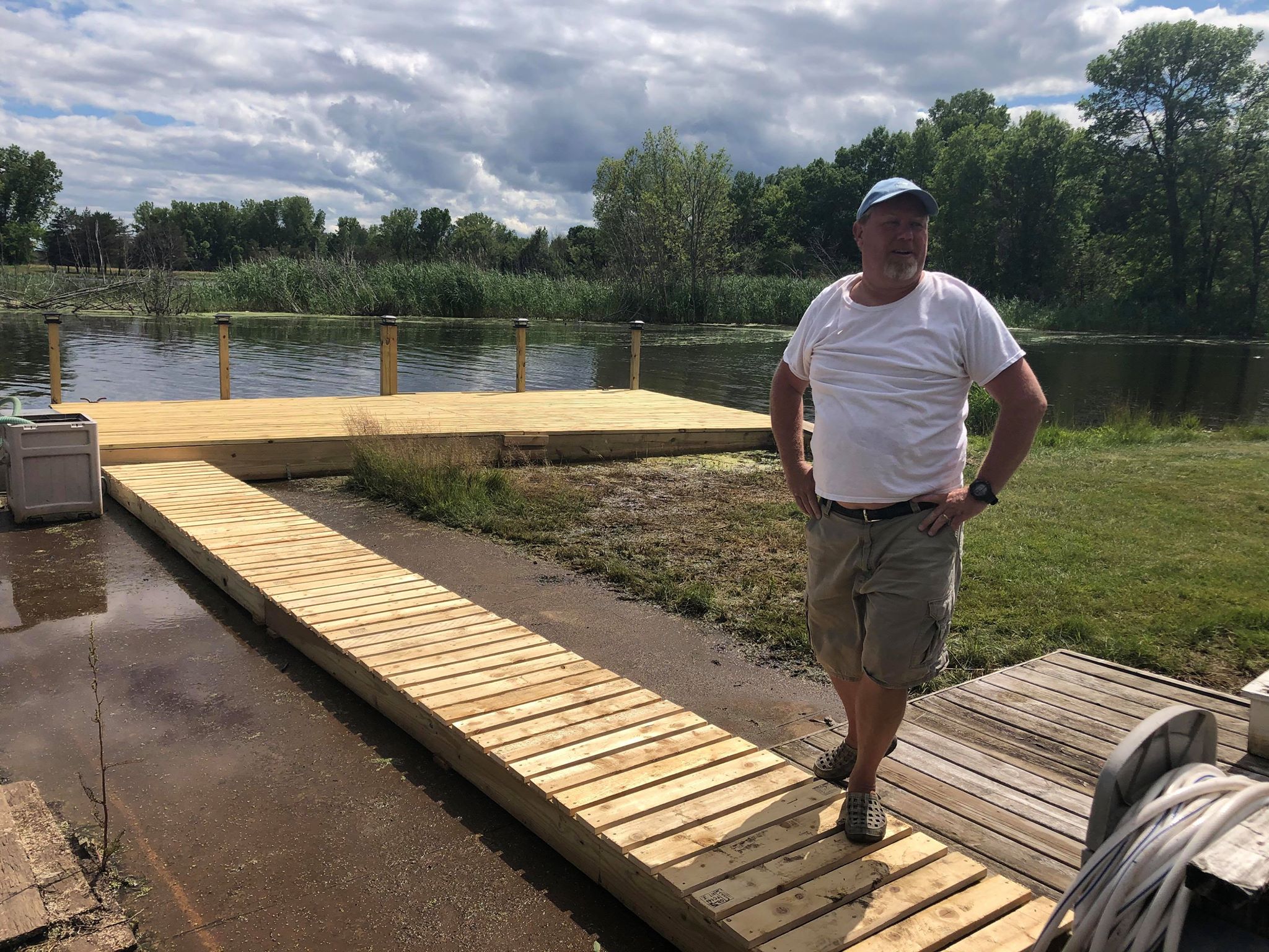
Gas Dock
Below - Great Job On The Gas Dock Area.
Upper/left photo, flooding of the gas dock and walk-way requiring a raised dock and walk.
Upper/right photo, wooden dock and walk.
Lower left, water level was down and you can see the cement walk area.
Lower right, submerged again. Click on the photos for a larger view.

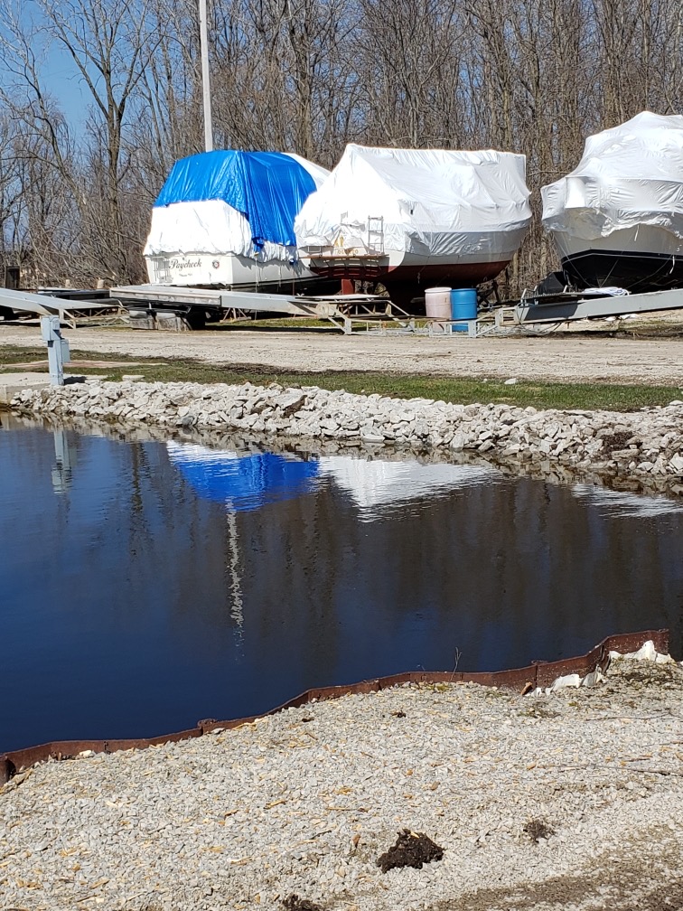
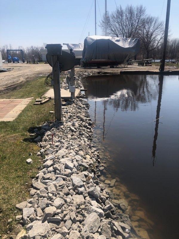
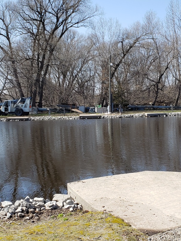
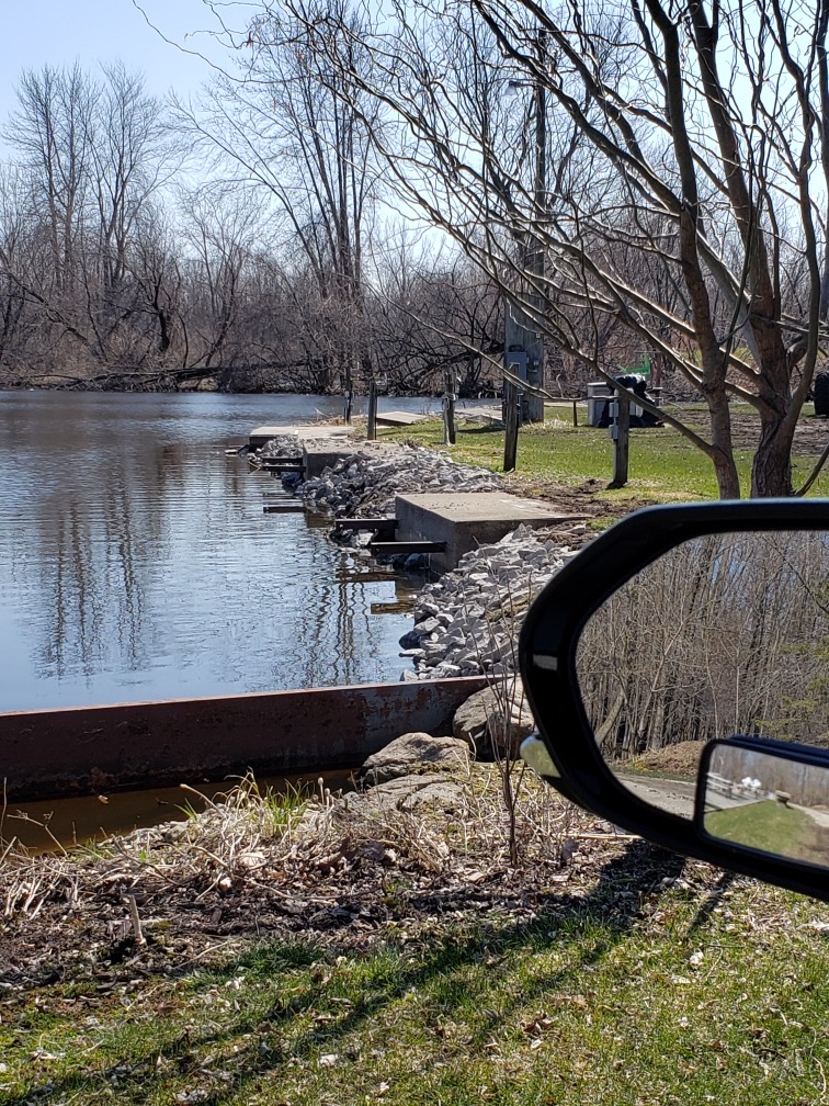
Lagoon - Rip/Rap Repair
Below - Stablizing The Lagoon Shore Line.
Upper/left photo, area from Jin pole to first Lagoon dock.
Upper/right photo, East side of the Lagoon.
Lower left, looking across the Lagoon at the West side.
Lower right, Lagoon West Shore Line. The top of the iron beam has been as much as a foot under water for the past two years.
Click any photo for a larger view.
High Water Damage From 2019 and 2020
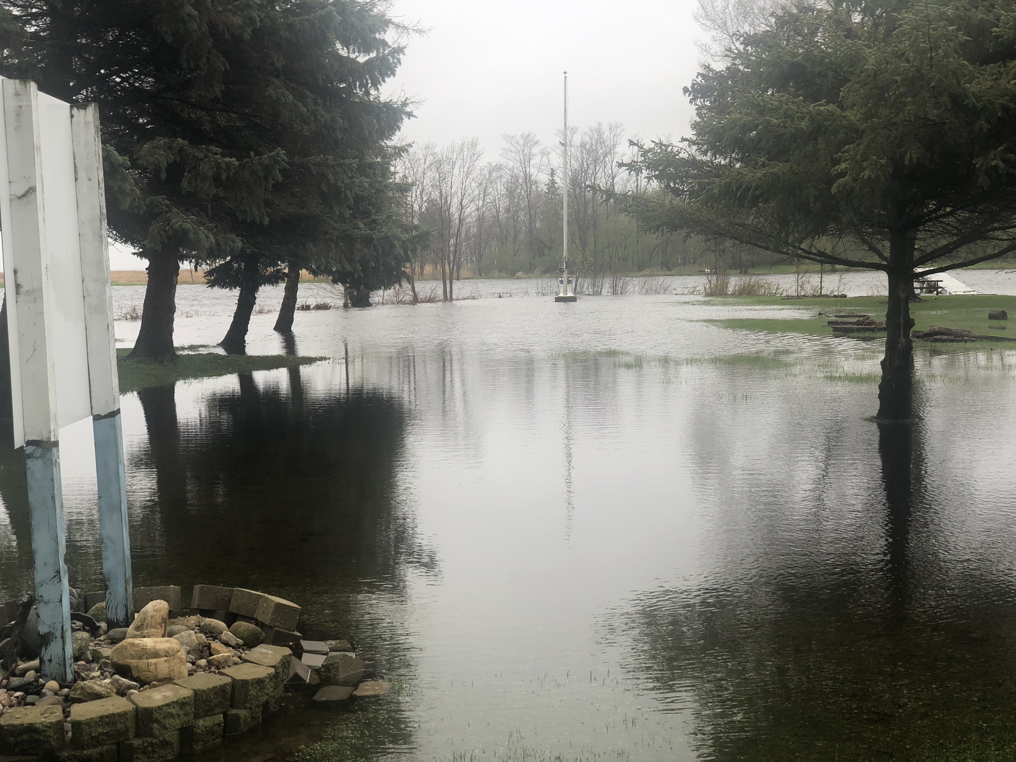
Oconto Yacht Club
Below are four photos of the same South-East side of the Club.
The three Cedars on the left of the upper/left photo belong to the neighbor and are lost. The one on the right side and a couple more of our Cedars are lost.
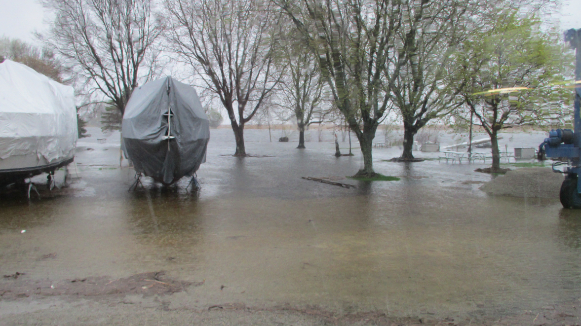
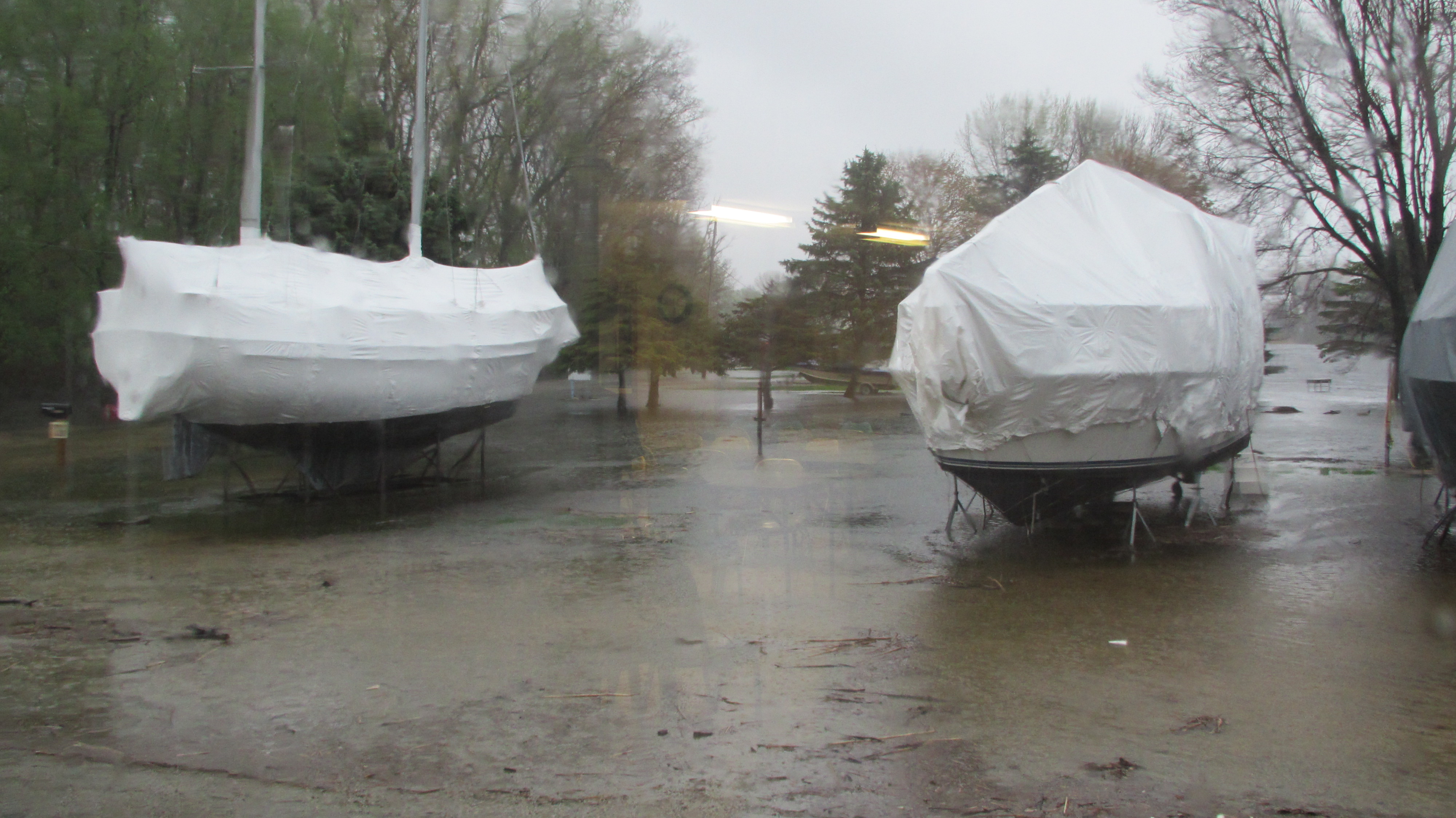
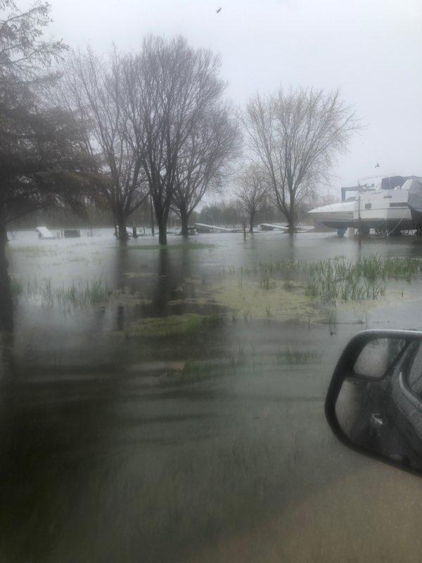
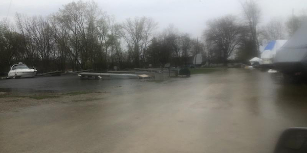
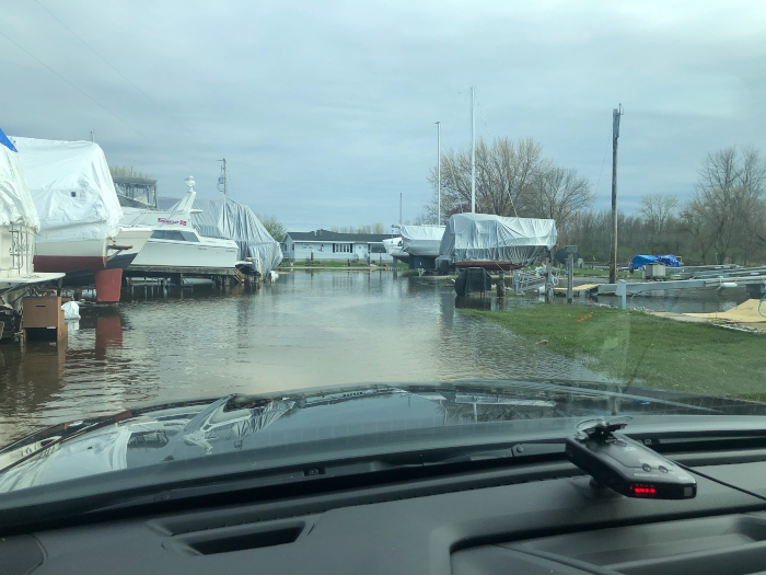
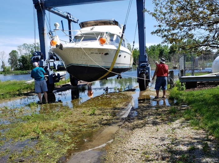
The boats in the upper/right photo are in storage on the parking lot. This area is also where the lift goes to the well.
The lower left is looking at the corner of the property. The three far trees and the flag post are the corner of the property.
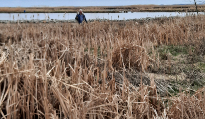
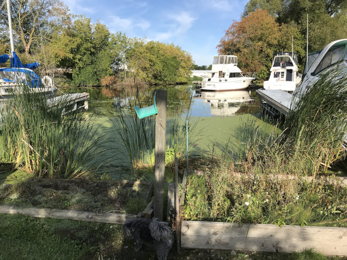
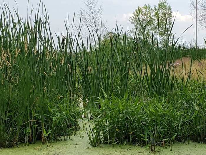
The lower right is in front of the boats looking at the River Docks. You can see the cattails and tall grasses starting to come up.
Below four more photos of the Club.
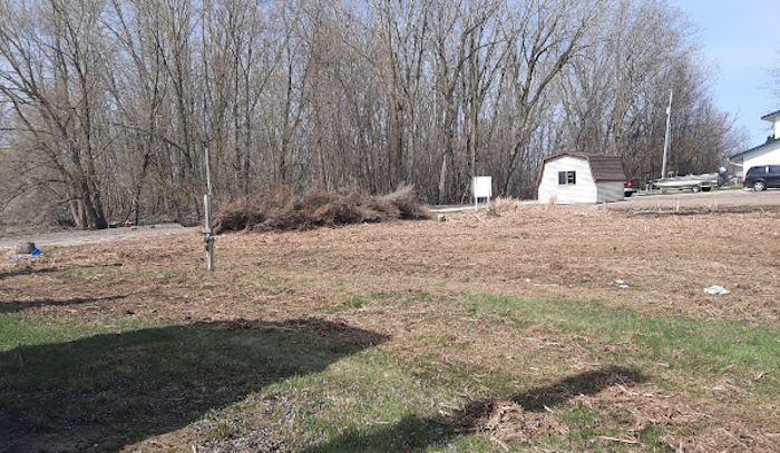
Upper/left photo is where Yacht Club Road ends in the OYC parking lot Many cattails, grasses, and weeds now over run this section of the club.
Upper/right photo shows the Lagoon road, boat storage, and Lagoon over run and under water.
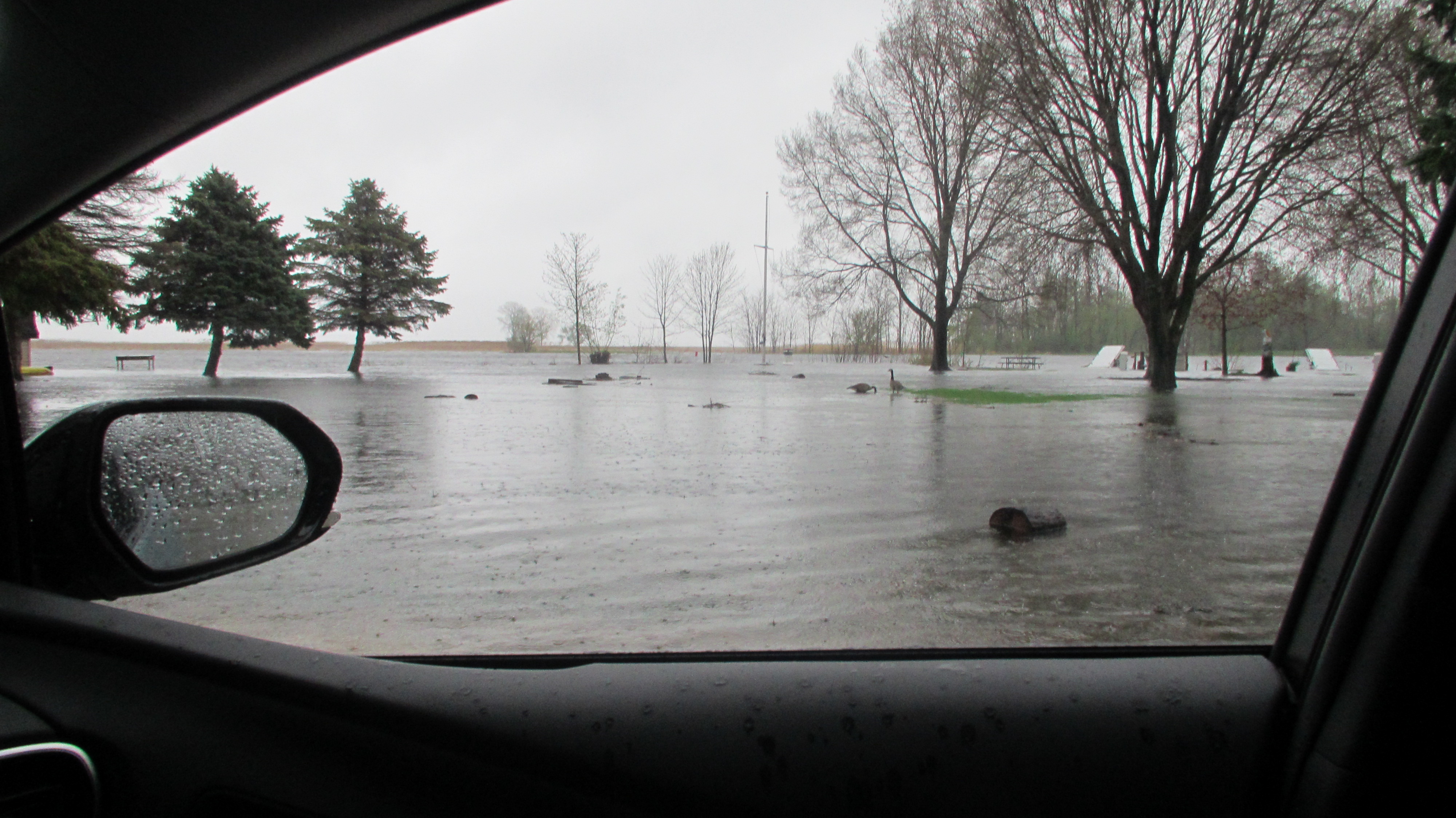
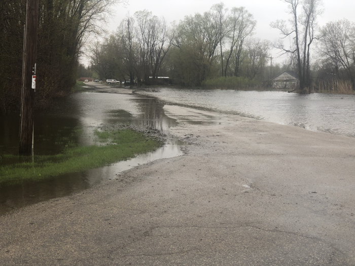
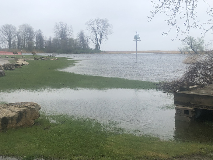
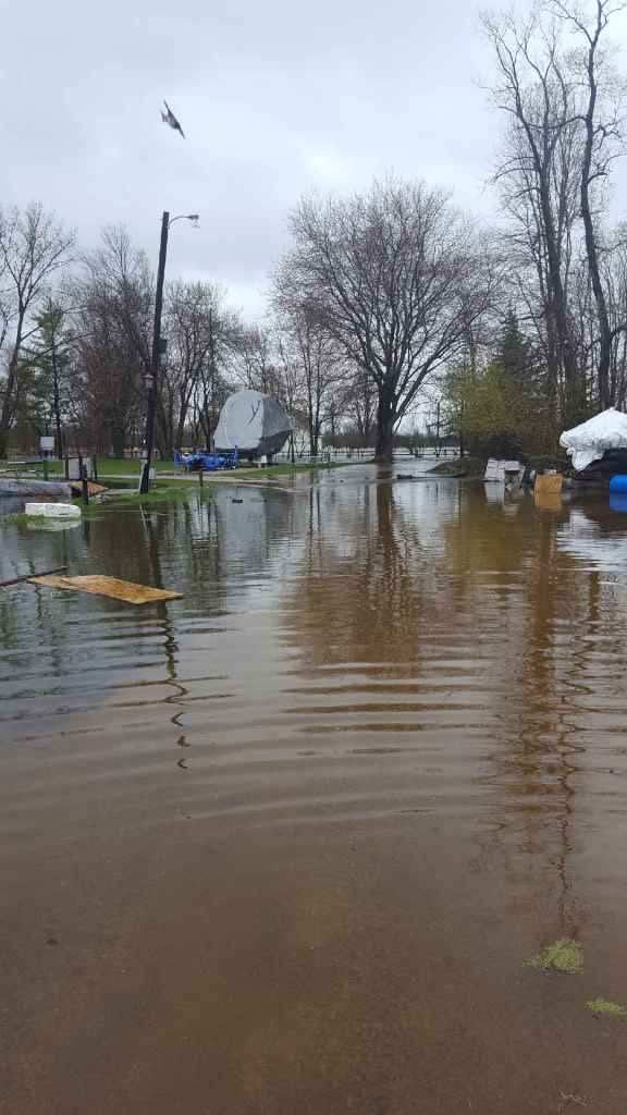
The lower left is at the north-east corner of the club showing the flooding in our triangle section, across Spies Road, and into the truck pull area of the park.
The lower right is Yacht Club Road where it meets Spies Road. Our flooded triangle property is on the left. The house between Yacht Club Road and the river are elevated and are fine.
Below are four photos of Club and near by.
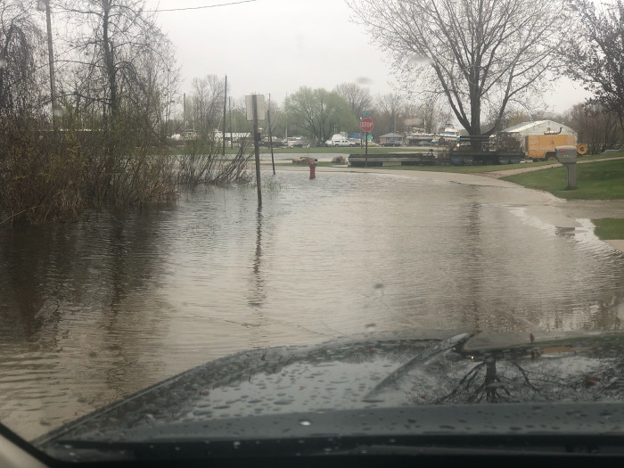
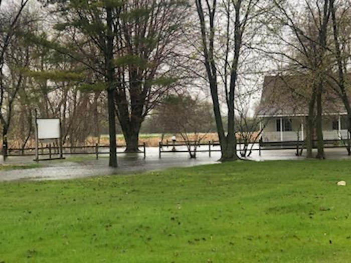
Upper/left photo taken from the intersection of Spies and Yacht Club Road. This section was often flooded. Launching boats was difficult at this landing.
Upper/right photo, This house is across Spies Road by the north end of the Yacht Club. They had owned this home for forty-plus years. The water level became so high that it came up through the floors flooding the interior of the home. They lost their home and OYC lost a great friend.
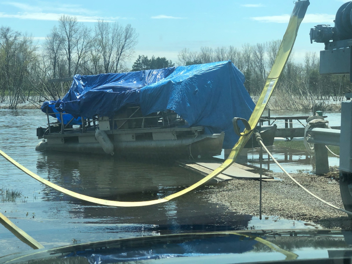
Lower left, The Pontoon is in the lift well. The walk-way and gas dock before the wooden decking was added. Ajax Island in the background is totally under water.
Lower right, The Club House is raised enough it stayed high and dry.
Club Yard Work
Below - .
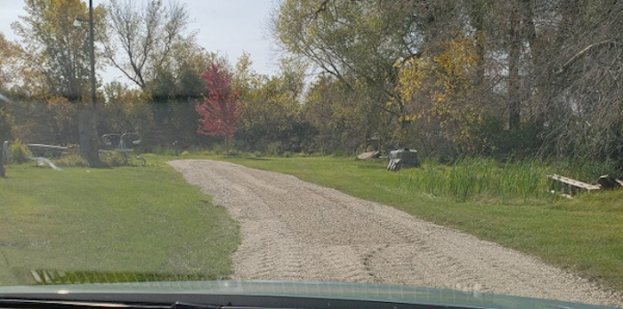
Upper/left photo, Road to the lift well and the near by parking area will need fill and leveling.
Upper/right photo, This area will need a lot of work to remove all the weeds and cattails. Might need some fill. Shore/Dock areas will need repairs. We may have to plant a few trees.
Lower left, Parking and Drive areas the pot holes, ruts, low areas will need fill and grading.
Lower right, Lagoon West Shore Line. The top of the iron beam has been as much as a foot under water for the past two years.
Click any photo for a larger view.
Flood Flicks From 2019
South-East Area By The Club
Lagoon Area
North End - Neighbors Under Water
2019 Storm At City Docs
High Water - East Winds - Large Amounts Of Rain, It Was A Bad Year.
Here's to good times with great friends.